Santo Antao Island Porto Novo, Cape Verde
Cape Verde

2 Cruises availables At departure or passage at this port

Porto Novo, Santo Antão | Cruise Port Guide

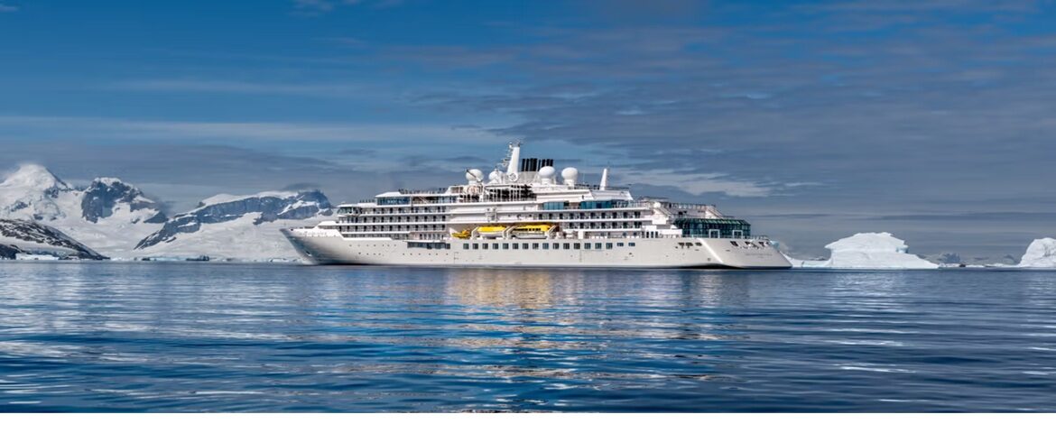
From the channel separating Santo Antão from its neighbour São Vicente, the island rises like a wall. Brown ridges climb straight out of the Atlantic, with no village in sight, and you have to wait until the last few miles to spot Porto Novo, set at the foot of the arid slopes of the east coast. The ship moors directly at the quay, expanded in 2013 to accommodate cruise vessels: no tender needed. The gangway opens onto the most mountainous island in Cape Verde, the one hikers from around the world come to explore.

Porto Novo, a gateway without a façade

The small town doesn't try to charm at first glance. It lives to the rhythm of the ferry linking it to Mindelo, the comings and goings of shared-transport vans and the fishermen returning in the morning. Near the landing, a black-sand beach recalls the territory's volcanic origins; horseback rides are organized along the shore. A few cafés serve a strong espresso and a fried pastel while you watch the bustle on the quay. The essentials, however, are hidden behind the peaks.

The Corda road, a pass to another world

The excursion that defines this port call takes the Estrada da Corda, an old cobbled road that zigzags up to the island's watershed. In about forty minutes, the landscape changes completely: bare rock gives way to cultivated slopes, then to dizzying ridges where clouds cling. Every bend opens a new perspective onto deep valleys and sharp peaks. Local drivers know the safest stopping points for photographing these steep gorges.

The green valleys of the north side

On the other side of the pass, the valleys of Ribeira Grande and Paúl concentrate the most astonishing things Santo Antão has to offer: suspended farm terraces where sugar cane, banana trees, yams and coffee plants grow. Irrigation follows stone channels winding along the mountainside. In the town of Ribeira Grande, the municipal market, the largest on the island, lines up tropical fruit, fabrics and cassava cakes; you hear Crioulo sung from one stall to the next. Excursions often continue to Fontainhas, a hamlet of painted houses clinging to a rocky ridge above the sea, one of the most photographed viewpoints in the archipelago.

Making the most of your time in port

Crossing the island and coming back takes up most of the day: it's best to book an organized excursion or negotiate an aluguer, the local shared taxi, as soon as you come ashore. Those who prefer to stay near the ship can walk along the waterfront, watch the loading at the commercial port and linger on the black beach. Sport fishing enthusiasts will also find what they're looking for in the deep waters surrounding the island, rich in tuna.

For hikers

Santo Antão has earned a worldwide reputation among hikers, and even a short port call lets you get a taste of it. Excursions often combine the drive with a stretch of walking in the Paúl valley, the lushest in the archipelago: you descend between terraced crops, mango trees and isolated houses, greeted along the way by farmers working their plots. Bring good shoes, a hat and water; the sun beats down hard from mid-morning, even when the peaks remain wrapped in cloud.

Back over the pass

On the way back, the road switches from green to ochre in a few kilometres, as if two separate islands shared the same name. It's this contrast you take back on board: the memory of a territory that looks harsh but saves its hanging gardens for those who make the effort to cross its peaks. Santo Antão doesn't reveal itself from the quay; it rewards those who go up to see.

Frequently Asked Questions

At the Porto Novo quay on the island's east coast. The quay was extended in 2013 to take cruise ships, so vessels come alongside directly with no tendering required.
Not much, and the town makes no attempt to charm. A black-sand beach near the landing, a few cafes, the ferry traffic to and from Mindelo, and horseback rides along the shore. The real Santo Antão hides behind the peaks.
Cross the pass on the Estrada da Corda and come back. The climb takes about forty minutes and the landscape flips completely: bare rock gives way to cultivated slopes, then to ridges snagged with cloud. Crossing the island and returning fills most of the day.
By organized excursion or by aluguer, the local shared taxi, negotiated as you step ashore. Agree clearly on route and return time. Given the length of the trip, the ship's excursion is the safer bet for not missing departure.
An old cobbled road that switchbacks up to the island's dividing ridge. Every bend opens a new view over deep valleys and sharp peaks. Local drivers know the safest pull-offs for photographing these gorges.
Hanging agricultural terraces growing sugarcane, bananas, yams and coffee, irrigated by stone channels running along the mountainside. The Ribeira Grande and Paúl valleys hold the best of it, along with the hamlet of Fontainhas clinging to a ridge above the sea.
That is its worldwide reputation. Even a short call gives you a taste: excursions often combine the drive with a walking section in the Paúl valley, the lushest in the archipelago, among terraced crops, mango trees and isolated houses.
Good shoes, a hat and water. The sun bites from mid-morning even when the summits stay wrapped in cloud, and stops are often at the roadside with no shade and no shops.
The Cape Verdean escudo, pegged to the euro; bring cash, since cards rarely work outside Porto Novo. Portuguese is official and Crioulo is the everyday language, including at the Ribeira Grande market.
Not for anyone wary of mountain roads. The switchbacks are relentless and the drops impressive; travellers prone to motion sickness should prepare. Staying in Porto Novo means seeing little of the island: it rewards those who go up and look.