Saaremaa (Kuressaare), Estonia | Cruise Port Guide

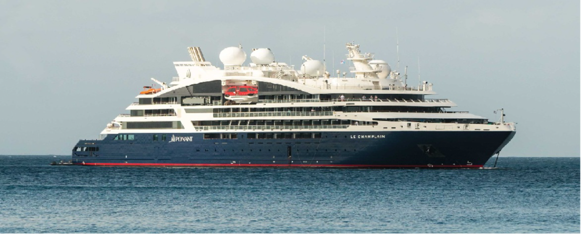
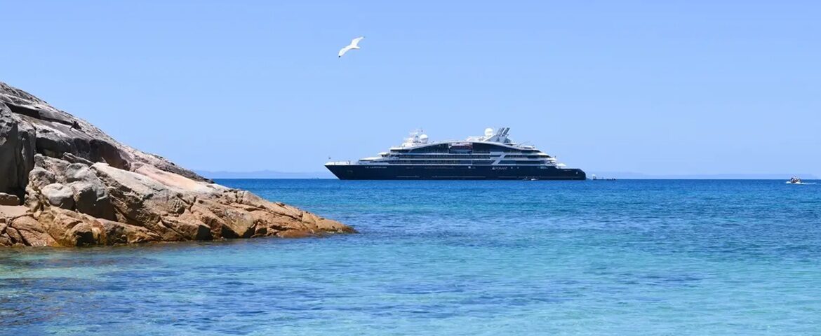
Estonians like to say that time slows down on Saaremaa. Junipers, windmills, dry-stone walls and almost empty roads: the country's largest island cultivates a rural gentleness that the Baltic seems to protect. Depending on the size of the ship, you dock at the deep-water pier in Küdema Bay, on the north coast, or anchor off Kuressaare, the island capital, reached by tender. Either way, the island can be explored at a relaxed pace. From one coast to the other is barely an hour's drive: the whole island fits into a single port day, as long as you choose your priorities.

Kuressaare and its bishops' fortress

On the waterfront, at the southern end of the little capital, the episcopal castle raises its pale grey dolomite walls amid moats and earthen bastions. Founded in the 13th century and rebuilt in the 14th, it is considered the best-preserved medieval castle in the Baltic states. Inside, the Saaremaa Museum traces the island's eventful history, from the German bishops to the occupations of the 20th century; from the wall walk, the view stretches over the sea and the town's rooftops.

A small spa capital

Around the town hall square, with its 17th-century Baroque building guarded by stone lions, the town lines up low houses, cafés and craft shops. The bathing tradition, born in the 19th century with marine mud treatments, continues in the spa hotels on the waterfront. Between visits, try the island's dark bread, dense and slightly sweet, or a local craft beer: Saaremaa is as much for tasting as for visiting.

Kaali, the scar from the sky

About twenty kilometres from Kuressaare, a perfectly round lake lies at the bottom of a wooded crater: Kaali, formed by a meteorite impact thousands of years ago. It's described as one of the first impact craters formally identified in Europe. The site, surrounded by legends — some see it as the ancients' grave of the sun — can be explored in half an hour, and its small museum explains the rain of fire that marked the island.

The Angla windmills and the northern cliffs

On the road across the island, the Angla hill lines up five wooden windmills, the last witnesses of a landscape that once had hundreds of them. Farther north, the Panga cliff drops about twenty metres into the sea, the highest limestone cliff in western Estonia; ships docked at Küdema are very close by. In between, farms, juniper groves and medieval churches roll past the motorcoach windows like the pages of a picture book.

Practical pointers

  • Large ships: Saaremaa Harbour (Küdema Bay), with motorcoach excursions to Kuressaare in the south of the island.
  • Smaller ships: anchorage off the island capital and tender transfer.
  • Castle, old town and waterfront: everything can be done on foot once you're there.
  • Currency: euro. Craft shops: wool, carved juniper wood and dark bread to take home.

The island you leave gently

As you head back out to sea, the windmills and steeples fade behind curtains of juniper. Saaremaa doesn't try to dazzle: it soothes. You take away the calm of its roads, the strange roundness of the Kaali crater and the massive silhouette of the fortress by the water — already reasons enough to dream of returning in the season of long summer days.

Frequently Asked Questions

It depends on size. Larger ships use the deep-water quay in Küdema Bay on the north coast; smaller vessels anchor off Kuressaare, the island capital, and land passengers by tender.
Yes, it means crossing the island, which is done by coach. From one coast to the other is barely an hour's drive: the whole island fits into a day ashore, provided you choose what matters to you.
The bishops' fortress, at the water's edge at the southern end of the small capital: pale grey dolomite walls among moats and earthen bastions. Founded in the 13th century and rebuilt in the 14th, it is considered the best-preserved medieval castle in the Baltic states.
The Saaremaa museum, which unfolds the island's turbulent history from the Germanic bishops to the occupations of the twentieth century. From the rampart walk, the view reaches the sea and the town's roofs.
A perfectly round lake at the bottom of a wooded crater about twenty kilometres from Kuressaare, dug by a meteorite strike thousands of years ago. It is described as one of the first impact craters formally identified in Europe.
Half an hour is enough to walk round the crater. A small museum on site explains the rain of fire that marked the island, and the legends around it — some see it as the tomb of the sun of the ancients.
Five wooden windmills lined up on a hill along the road across the island. They are the last survivors of a landscape that once held hundreds.
Yes, the Panga cliff in the north, dropping some twenty metres into the sea: the highest limestone face in western Estonia. Ships berthed at Küdema are very close to it.
The island's black bread, dense and faintly sweet, and a local craft beer. For crafts: wool and carved juniper. The currency is the euro.
Not much, and it makes no apology. Junipers, dry-stone walls and near-empty roads: the island cultivates a rural calm. You come for the quiet, a castle and a crater, not for bustle.