Isla Parida Panama

44 Cruises availables At departure or passage at this port

Windstar Cruises (37 Cruises)

Isla Parida, Panama | Cruise Port Guide

The Gulf of Chiriquí, on Panama's western Pacific coast, scatters its islands like a handful of seeds between the Azuero Peninsula and the Costa Rican border. Isla Parida is the largest of them, and the only one permanently inhabited: a handful of families live here off fishing and hosting visitors, in houses scattered behind the beaches. When an expedition ship anchors nearby, the whole geography of the gulf unfolds in a single day, between forest, reefs, and white sand.

A Large Island That Stayed Simple

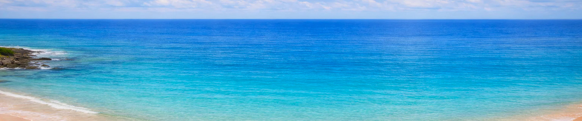
Parida is part of the Gulf of Chiriquí National Marine Park, and its interior has kept its original forest cover. Behind the coastal coconut palms, the vegetation thickens quickly; birds are heard far more than they're seen, and landings are often paired with a short guided walk to get a feel for the island's character. The shoreline alternates rocky points and coves of pale sand where the water takes on lagoon-like shades in calm hours. Each beach has its own orientation: guides pick the day's spot based on tide and wind, and that reading of the terrain is part of the pleasure of expedition travel.

Reefs, Rays, and Rockfish

Snorkelling is the main activity of the stop. The seabed mixes volcanic boulders and coral formations frequented by butterflyfish, triggerfish, and silvery schools that part like a curtain as a swimmer passes, with the occasional ray lifting off the sand in a cloud of sediment. These waters rank among the most fish-rich in the Panamanian Pacific, and passengers who'd rather stay on the surface will still see plenty of marine life pass by from the Zodiac, since the water turns remarkably clear on a fine day. Guides match the sites to each person's level: a learner's lagoon for beginners, a livelier point for the more experienced.

The Gulf as a Backdrop

From the beaches of Parida, the horizon comes alive with island silhouettes: Gámez close by, tiny and fringed with sand, Bolaños and its reefs a little further off, and the bluish line of the mountain range on the mainland. The crossings between anchorages hold their own surprises, playful dolphins chief among them. From July to October, Southern Hemisphere humpback whales come to give birth in these waters; a distant blow spotted on the horizon is sometimes enough to redirect the afternoon's course, within the required safe distances.

Making the Most of Your Island Day

The usual gear for a nature stop is a must here: water shoes for the rocky patches, generous sun protection, a hat, and a water bottle. The humid heat is easier to handle by alternating swims with shaded breaks, and the afternoon sometimes brings a brief shower that cools everyone off. Exchanges with the islanders, when the itinerary allows for them, are simple, a mix of Spanish and smiles; a few dollars come in handy if fresh coconuts or handicrafts are on offer. Photographers would do well to keep their camera within reach from start to finish: the light shifts fast over these waters, and the best shots often come between activities, without warning.

Late in the day, the ship pulls away among the islets as the low light sharpens every ridge and outline. Parida disappears last, dark and massive above the clear water. What stays with you are clear, unembellished images: a stretch of coral reef, a beach chosen according to the tide, an island where a handful of families live by the rhythm of the tides. This side of Panama appears on no postcard, and that's exactly as it should be; it gets passed on from traveller to traveller, like an address shared in a low voice.

Frequently Asked Questions

By Zodiac, onto one of the island's beaches. Guides pick the day's beach according to tide and wind: the shore alternates rocky points and pale sand coves, and each beach has its own orientation.
In the Gulf of Chiriquí on Panama's western Pacific side, between the Azuero peninsula and the Costa Rican border. It is the gulf's largest island and the only permanently inhabited one.
A few families, living from fishing and from receiving visitors, in houses scattered behind the beaches. The island belongs to the Gulf of Chiriquí marine national park, and its interior has kept its original forest cover.
Snorkelling. The bottom mixes volcanic boulders and coral formations frequented by butterflyfish, triggerfish and silver schools that close like a curtain as a swimmer passes, with sometimes a ray lifting off the sand.
No. Passengers who prefer to stay at the surface will still see marine life pass beneath the Zodiac, so clear does the water become in good weather. Guides match sites to ability: a sheltered lagoon for beginners, a livelier point for the experienced.
Yes, landings often include a short guided walk. Behind the coastal coconut palms, vegetation thickens quickly; you hear the birds far more than you see them.
From July to October, yes: humpback whales from the southern hemisphere come to calve in these waters. A blow spotted in the distance is enough to redirect the afternoon's navigation, within regulated distances. Dolphins show up year-round between anchorages.
The horizon fills with island outlines: Gámez close by, tiny and sand-fringed, Bolaños and its reefs a little further, and the blue line of the cordillera on the mainland in clear weather.
Water shoes for the stones, generous sun protection, a hat and a water bottle. Humid heat is easier if you alternate swims and shaded breaks, and the afternoon sometimes brings a brief shower that cools everyone off. A few dollars are useful if fresh coconuts or crafts appear.
No, and that is fine. This Panama appears on no poster: an island where a handful of families live by the tides, some of the richest waters in the Panamanian Pacific, and no infrastructure. It passes from traveller to traveller, like an address shared in a low voice.