Kangerlussuaq Greenland
Greenland

133 Cruises availables At departure or passage at this port

Scenic Cruises (40 Cruises)

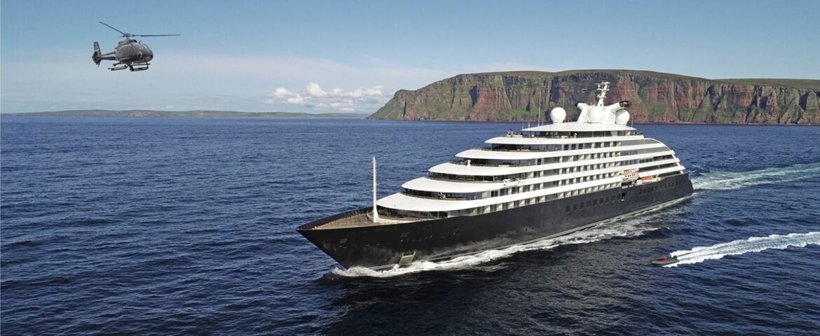
Scenic Eclipse

Scenic Eclipse

228 Passengers
17 tons
Visit the ship's page
Scenic Eclipse II.

Scenic Eclipse II

228 Passengers
17085 tons
Visit the ship's page

Seabourn Cruise Line (64 Cruises)

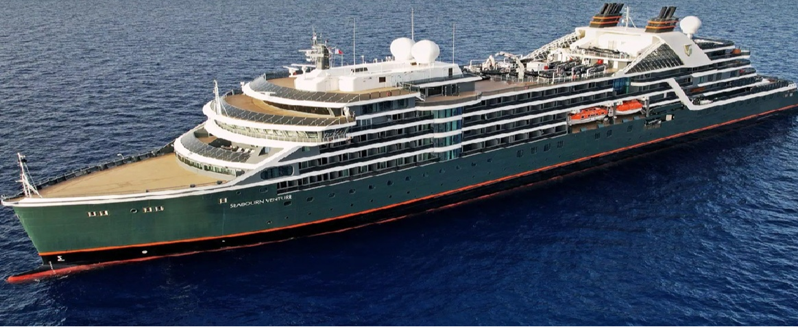
Seabourn Venture

Seabourn Venture

Visit the ship's page

Kangerlussuaq, Greenland | Cruise Port Guide

It takes nearly 190 kilometres of fjord to reach Kangerlussuaq, and this long approach between brown rock walls and milky waters sets the stage for a stop like no other in Greenland. There's no fishing village here: Kangerlussuaq was born in the 1940s as an American air base, before becoming the hub of Greenlandic air travel. Ships anchor at the head of the fjord and tender their passengers ashore, at the foot of a tundra landscape where an attraction without equal waits just a few dozen kilometres away: the ice sheet that covers four-fifths of Greenland.

The Only Road to the Ice Sheet

The settlement holds a distinction unique in the country: a drivable track of about 37 kilometres leads right to the very edge of the ice sheet, at a spot known as Point 660. Nowhere else in Greenland can you drive all the way to the ice. Excursions by off-road vehicle follow this gravel road through valleys and hills, until the mineral ground gives way to a white wall stretching out to the horizon. Walking a few steps onto this ancient ice, guided every step of the way, remains for most passengers the absolute high point of their Arctic journey.

Russell Glacier

About 25 kilometres from the settlement, Russell Glacier pushes an ice face roughly sixty metres high above the outwash plain. It's approached on foot from the track, close enough to hear it crack and, with a little luck, see a section collapse with a deep rumble. The contrast is striking: all around, the summer tundra unrolls Arctic cotton grass and dwarf birches, while the bluish wall advances at its own geological pace. Photographers could spend the whole day here.

Muskoxen and Reindeer

The region is home to one of the country's densest muskox populations, and excursions regularly cross paths with them, massive, woolly shapes grazing on the hillsides. Reindeer, Arctic hares, and Arctic foxes round out the picture, and the guides know exactly where to look for each. The continental climate, exceptionally dry and stable for the Arctic, favours good sightings: clear days are the rule here rather than the exception.

A Functional Outpost

The settlement itself, a few hundred residents clustered around the airstrip, keeps the look of a base: hangars, repurposed dormitories, a supermarket, a cafeteria. People don't come here for the architecture, and it would be unfair to judge it on that score. Kangerlussuaq is a gateway, the best-run one in the country, and its interest begins where the asphalt ends. Passengers between excursions will still find a post office, a few souvenir shops, and the distinctive atmosphere of an Arctic crossroads where scientists, hikers on the Arctic Circle Trail, and crews from around the world all cross paths. You'll see more hiking boots here than rolling suitcases.

Good to Know

  • Excursions to Point 660 and Russell Glacier last three to five hours on a bumpy track: not recommended for those with back trouble.
  • Dress in layers and bring sunglasses: glare off the ice and snow is intense.
  • Mosquitoes can be fierce in July; a head net helps anyone with sensitive skin.

Leaving the End of the Road

As the ship heads back down the long fjord, everyone carries away their own measure of the country: a wall of ice touched with the flat of a hand, a muskox spotted in a nameless valley, the dust of a road that leads only to the essential. Kangerlussuaq is nothing like a pretty harbour, and it never claimed to be. It offers something better: direct contact with the force that shapes all of Greenland, and a glimpse of the world's true scale.

Frequently Asked Questions

At the head of the fjord, after an approach of roughly 190 km between brown walls and milky water. Ships anchor and land passengers by tender at the edge of the tundra.
For the ice sheet. A drivable gravel road of about 37 km runs to the very edge of the inland ice at Point 660: nowhere else in Greenland can you drive to the ice.
Yes, a few guided steps at the edge of the inland ice at Point 660. For most passengers it is the high point of the whole Arctic voyage.
An ice front some sixty metres high, about 25 km from the settlement, approached on foot from the road. Close enough to hear it crack and, with luck, watch a section collapse.
Three to five hours for Point 660 or the Russell Glacier, on a rough gravel road. Anyone with a fragile back should sit this one out: the ride is genuinely bumpy.
The area holds one of the densest musk ox populations in the country. Reindeer, Arctic hare and Arctic fox also turn up, and guides know where to look for each.
Not in the usual sense. Kangerlussuaq began as an American air base in the 1940s and still looks like a crossroads: hangars, converted barracks, a supermarket, a cafeteria, a post office and a few souvenir shops. Nobody comes for the architecture.
Yes. It is continental, unusually dry and stable for the Arctic. Clear days are the rule rather than the exception, which helps both the views and the wildlife watching.
In July, yes: they can be fierce on the tundra. A head net earns its place for sensitive skin, and repellent is not something you can count on buying locally.
Layers, a windproof shell and sunglasses: glare off the ice is intense even under cloud. Closed shoes with good grip for walking at the edge of the ice sheet.