St Lawrence Seaway Canada
75
Cruises availables
At departure or passage at this port

Viking Ocean Cruises (65 Cruises)
Viking Octantis
40 Cruises
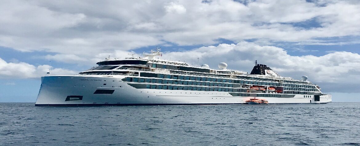

| 2 March | 68 nights | One-way from Buenos Aires to Milwaukee WI |
450-628-6241
Call us
|
| 3 March | 66 days | One-way from Buenos Aires to Milwaukee WI |
450-628-6241
Call us
|
| 20 April | 12 nights | One-way from New York to Toronto |
450-628-6241
Call us
|
| 20 April | 11 days | One-way from New York to Toronto |
450-628-6241
Call us
|
| 15 March | 62 nights | One-way from Buenos Aires to Milwaukee WI |
450-628-6241
Call us
|
| 16 March | 60 days | One-way from Buenos Aires to Milwaukee WI |
450-628-6241
Call us
|
| 27 April | 11 days | One-way from New York to Toronto |
450-628-6241
Call us
|
| 27 April | 12 nights | One-way from New York to Toronto |
450-628-6241
Call us
|
| 19 March | 62 nights | One-way from Buenos Aires to Milwaukee WI |
450-628-6241
Call us
|
| 20 March | 60 days | One-way from Buenos Aires to Milwaukee WI |
450-628-6241
Call us
|
| 1 May | 11 days | One-way from New York to Toronto |
450-628-6241
Call us
|
| 1 May | 12 nights | One-way from New York to Toronto |
450-628-6241
Call us
|
Viking Polaris
25 Cruises
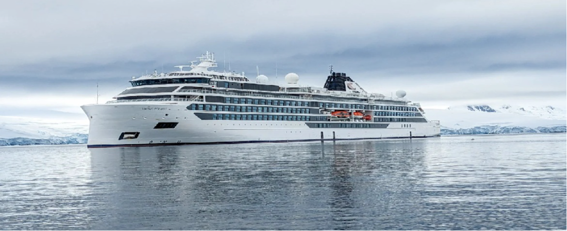
| 14 March | 62 nights | One-way from Buenos Aires to Milwaukee WI |
450-628-6241
Call us
|
| 15 March | 60 days | One-way from Buenos Aires to Milwaukee WI |
450-628-6241
Call us
|
| 26 April | 11 days | One-way from New York to Toronto |
450-628-6241
Call us
|
| 26 April | 12 nights | One-way from New York to Toronto |
450-628-6241
Call us
|
| 29 April | 11 days | One-way from New York to Toronto |
450-628-6241
Call us
|
| 29 April | 12 nights | One-way from New York to Toronto |
450-628-6241
Call us
|
Saint Lawrence Seaway, Canada | Cruise Route Guide
Frequently Asked Questions
No, it is a day of navigation with no landing. The ship climbs or descends a freshwater staircase linking the Atlantic to the Great Lakes, passing through locks, canals and dredged channels.
A corridor opened in 1959 and jointly operated by Canada and the United States, allowing ships to rise nearly 170 metres between Montreal and Lake Erie. Sailors call it Highway H2O.
Seven between Montreal and Lake Ontario, bypassing rapids and dams, plus eight more on the Welland Canal, which lift ships over the Niagara Escarpment and around the falls.
A precision manoeuvre: at times less than a metre separates the hull from the concrete walls. The gates close, the water rises or falls within minutes, and the ship moves on a few metres higher or lower. Onboard commentary usually walks through each transit.
An archipelago between Brockville and Kingston of granite islets topped with pines, cottages set at the water's edge and miniature lighthouses. On Heart Island, Boldt Castle raises its turrets. Ships cross the archipelago slowly and the open decks stay full.
Keep binoculars and camera to hand, watch one full lock transit from an upper deck and another from a lower deck close to the walls, and look out for the lift bridges and tunnels under the Welland Canal where road traffic waits its turn.
Yes. Onboard speakers weave together geography, history and civil engineering along the route, from the fur trade canoe brigades to the villages relocated during the flooding of the 1950s.
Several were relocated during the flooding of the 1950s. On the Canadian shore, Upper Canada Village preserves buildings saved from the submerged communities, and remnants of the 19th-century canals are still visible from the deck.
Outdoor clothing: the day is lived on deck, often standing for long stretches, and the air over the river stays cool even in summer.
Yes. The choreography of the locks fascinates children, you wave to the crews of passing freighters, and everything happens aboard with no landing logistics.


