St John Island USVI Cruz Bay, US Virgin Islands
US Virgin Islands
236
Cruises availables
At departure or passage at this port
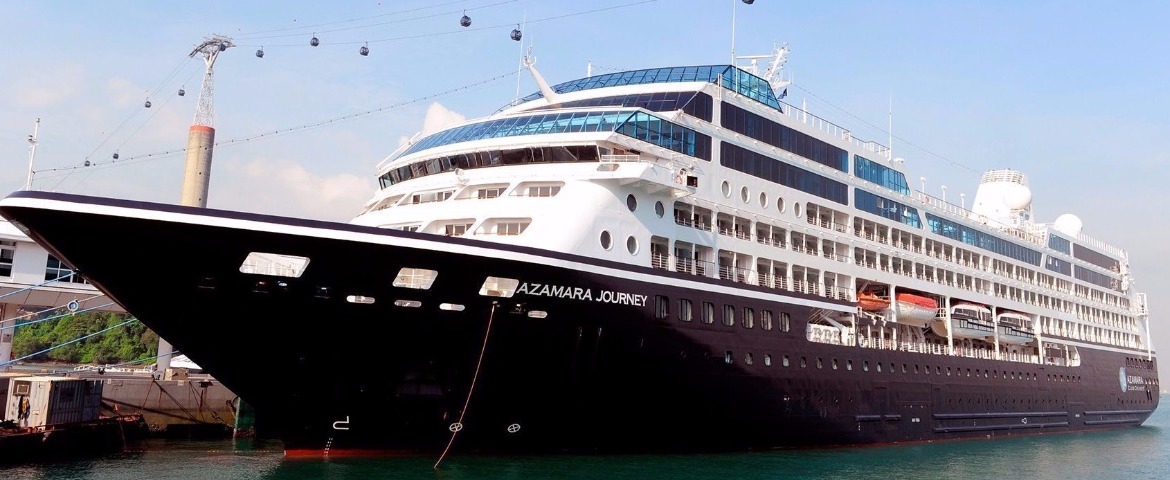
Azamara Club Cruises (3 Cruises)

Emerald Waterways (55 Cruises)
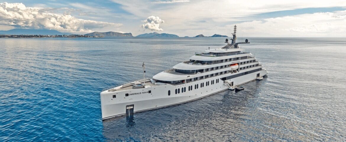
Emerald Kaia
36 Cruises

| 18 March | 7 nights | One-way from San Juan to St Johns Antigua |
450-628-6241
Call us
|
| 25 March | 14 nights | Round-trip from St Johns Antigua, Antigua & Barbuda |
450-628-6241
Call us
|
| 11 February | 9 nights | One-way from Miami to San Juan |
450-628-6241
Call us
|
| 20 February | 9 nights | One-way from San Juan to Miami |
450-628-6241
Call us
|
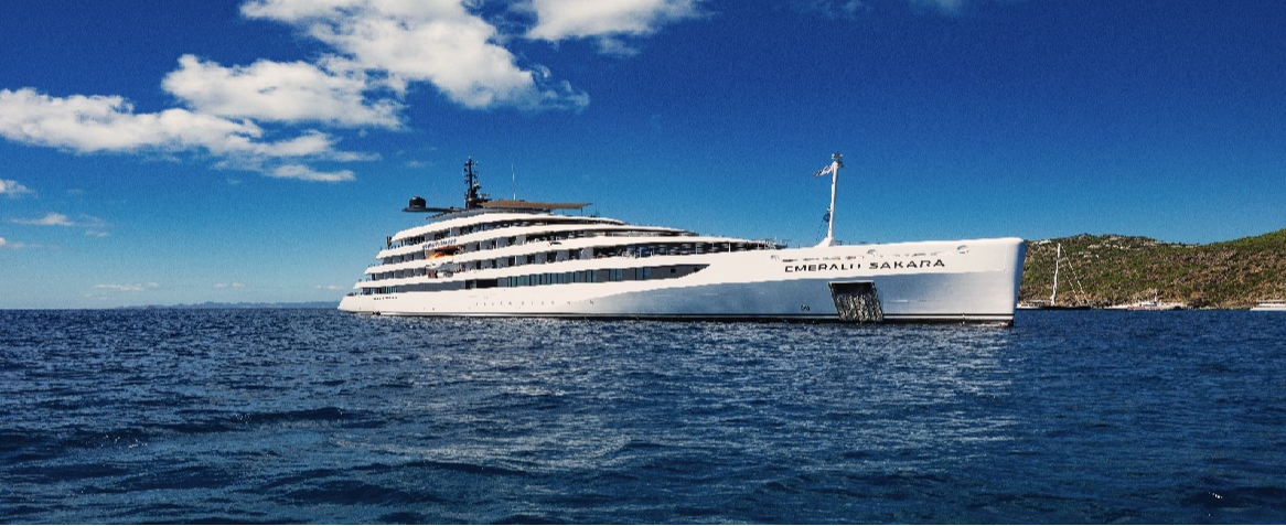
Emerald Sakara
19 Cruises
Explora Journeys (39 Cruises)
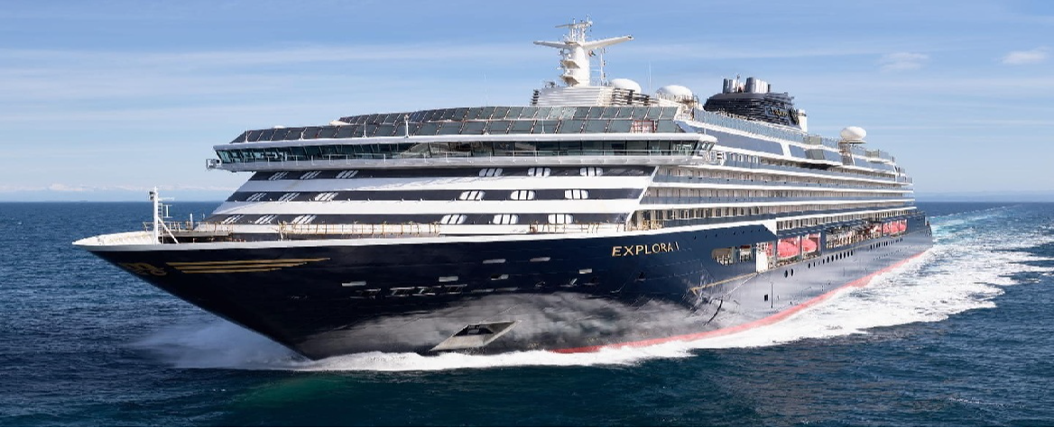
Explora I
6 Cruises

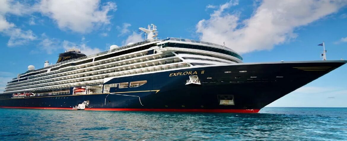
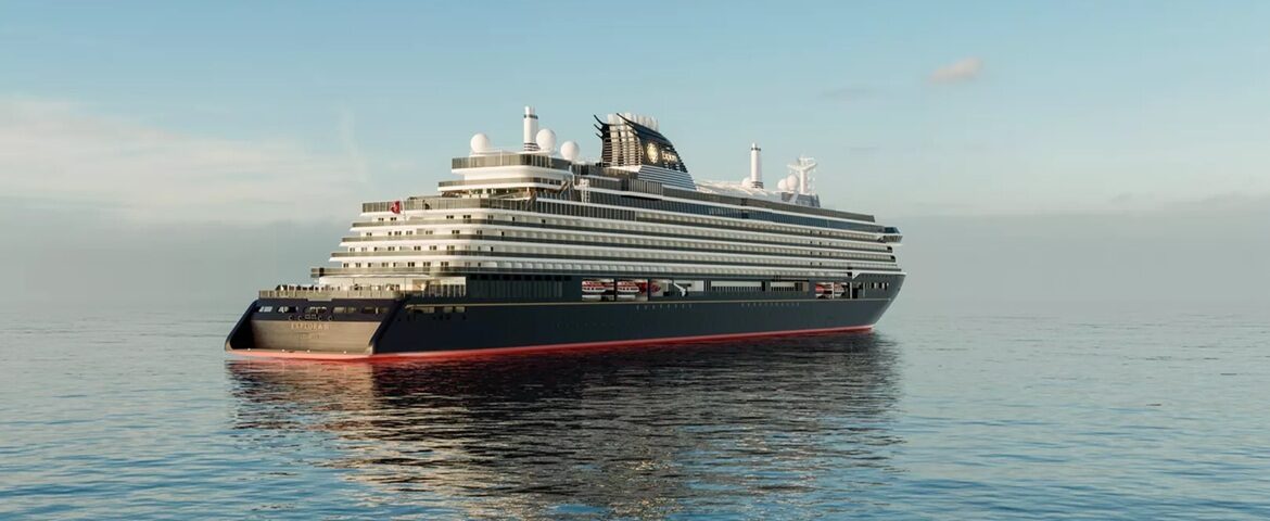
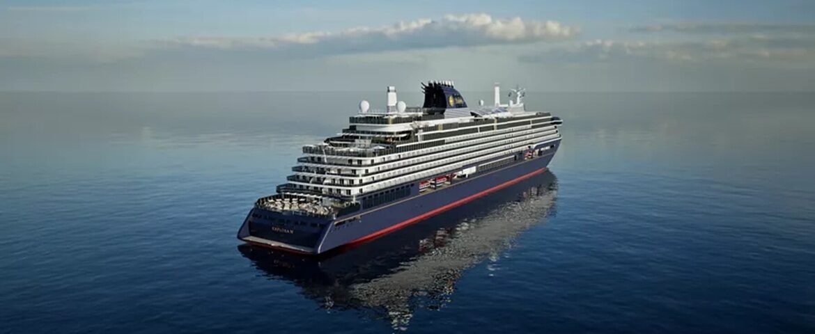
Explora III
19 Cruises
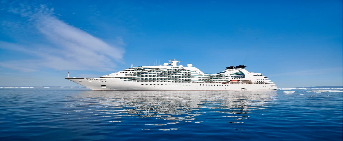
Seabourn Cruise Line (1 Cruises)

SeaDream Yacht Club (72 Cruises)
Seadream I
35 Cruises
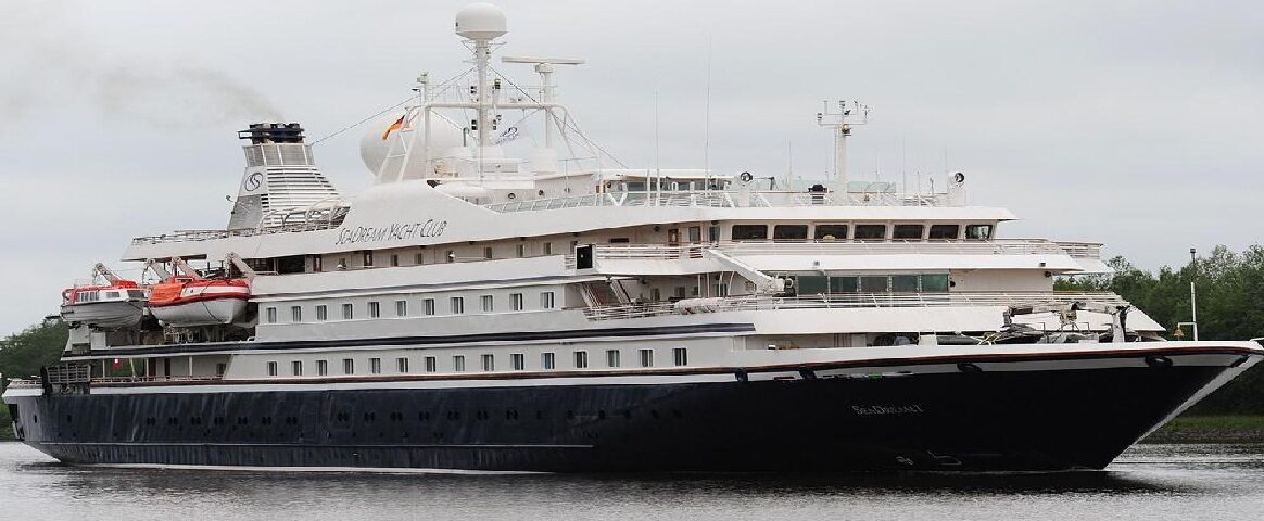

Seadream II
37 Cruises
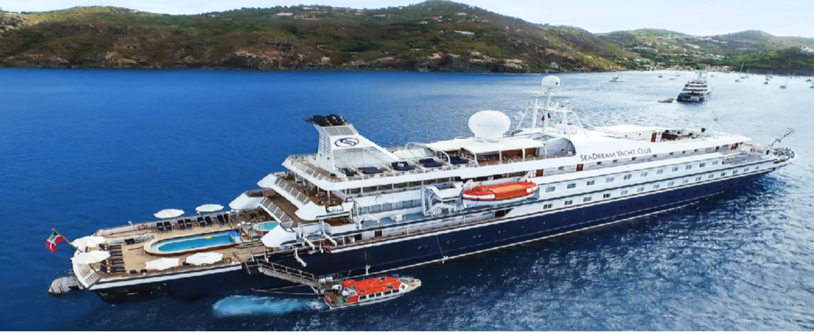
| 5 February | 7 nights | Round-trip from San Juan, Puerto Rico |
450-628-6241
Call us
|
| 12 February | 11 nights | One-way from San Juan to Bridgetown |
450-628-6241
Call us
|
| 7 January | 7 nights | Round-trip from St Thomas Island USVI, US Virgin Islands |
450-628-6241
Call us
|
| 14 January | 11 nights | One-way from St Thomas Island USVI to Bridgetown |
450-628-6241
Call us
|
| 11 February | 7 nights | Round-trip from St Thomas Island USVI, US Virgin Islands |
450-628-6241
Call us
|
| 25 February | 7 nights | Round-trip from St Thomas Island USVI, US Virgin Islands |
450-628-6241
Call us
|
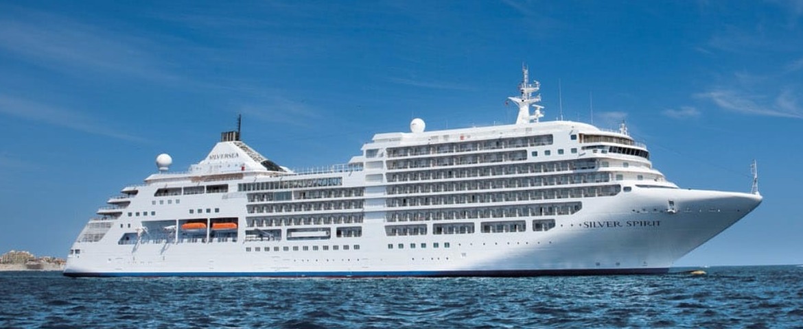
Silversea Cruises (30 Cruises)
Silver Dawn
8 Cruises
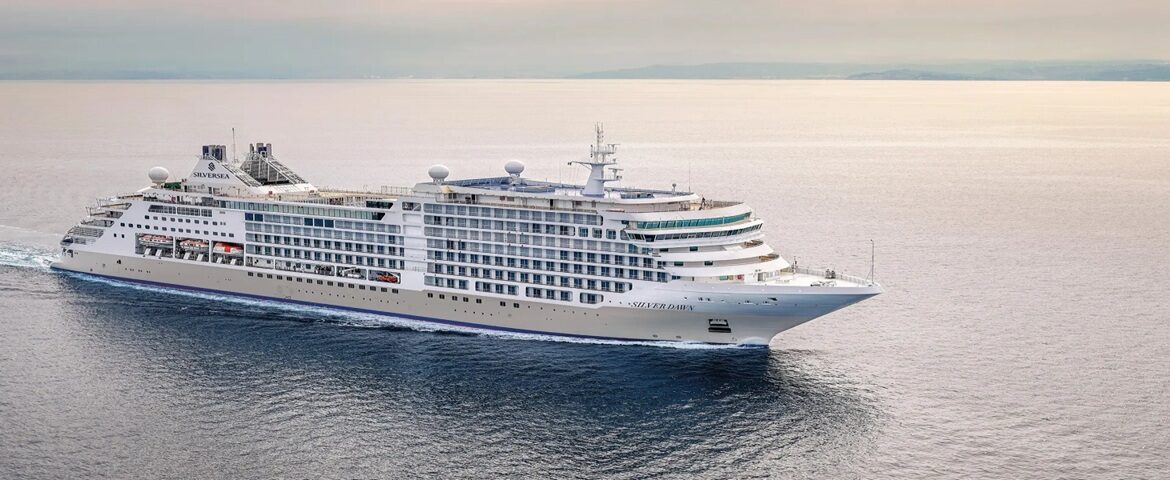

Silver Ray
8 Cruises
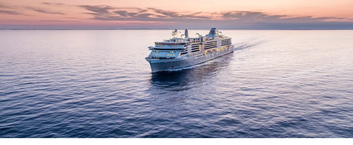
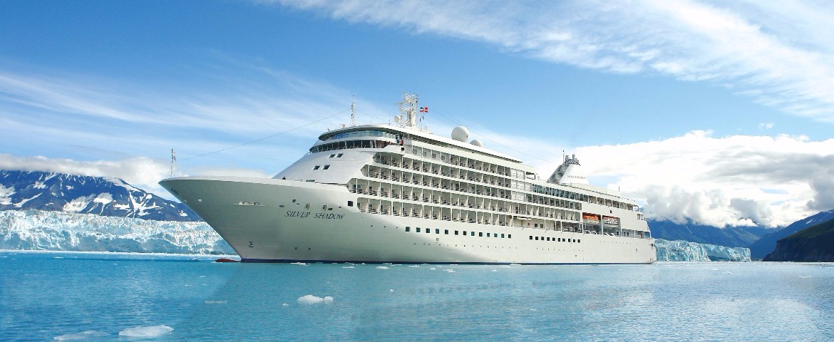
Silver Shadow
9 Cruises
Windstar Cruises (36 Cruises)
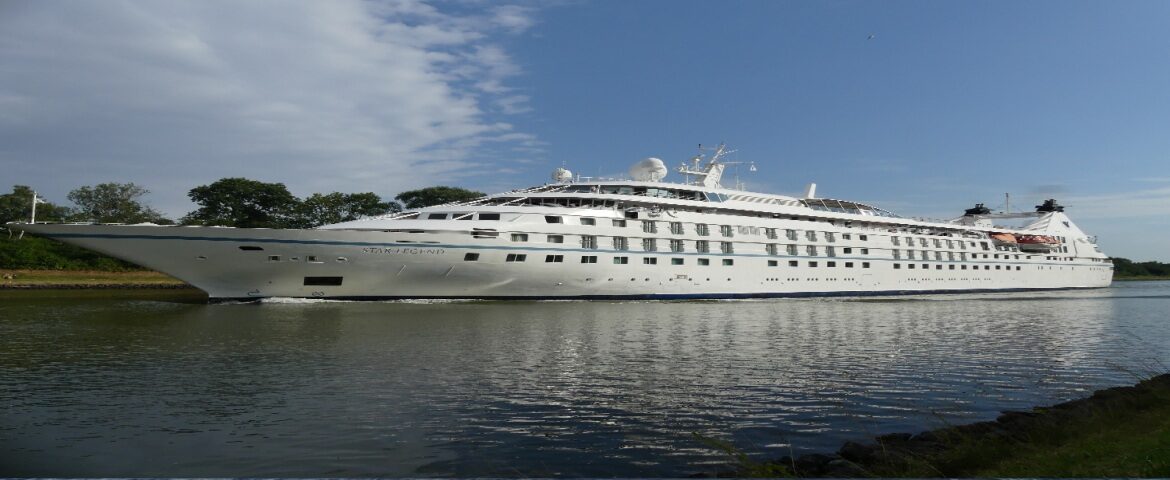
Star Legend
15 Cruises

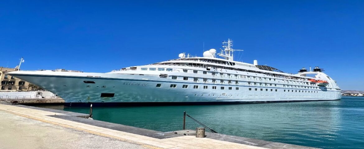
Star Pride
21 Cruises
| 3 January | 14 nights | Round-trip from San Juan, Puerto Rico |
450-628-6241
Call us
|
| 10 January | 7 nights | Round-trip from San Juan, Puerto Rico |
450-628-6241
Call us
|
Port of St. John, U.S. Virgin Islands | Cruise Port Guide
Frequently Asked Questions
They do not: ships anchor off Cruz Bay and tender passengers into the heart of the village, steps from the ranger station. Going ashore therefore depends on sea conditions.
Cruz Bay, yes: the village is hamlet-sized, with shaded lanes, artisan shops and terraces minutes from the dock. For the beaches and park trails you need one of the open-bed shared taxis.
Start at the national park visitor centre next to the dock, which hands out trail maps and the day's advice. Then a taxi to a north-shore bay for swimming and snorkelling, back in late afternoon.
Because in 1956 Laurance Rockefeller gave the United States more than half the island on the condition that it stay untouched. Virgin Islands National Park now covers roughly two-thirds of the land and much of the surrounding water, which is why the hills carry no buildings.
The north-shore bays offer clear water and shallow reef ideal for snorkelling. Expect a taxi ride from Cruz Bay; these are national park beaches, with no loungers and no service.
The US dollar. Cards work in Cruz Bay shops and restaurants, but keep cash for the shared taxis and for tips, which are expected American-style.
Yes for Canadians: the US Virgin Islands come under the United States and a valid passport remains the document to present.
English, with the Virgin Islands Creole accent. French is not spoken here.
Yes, above all for calm-water swimming. The park trails, though, climb and drop sharply in full sun: with young children, favour the beach and save the hike for another time.
December through April, the dry season with the calmest seas, which matters doubly for a tender call. From June to November, hurricane season can cancel the day.


